A bridge too soon
Antwerpen – Lier – Olen – Tessenderlo – Wijnegem – Antwerp
Lunch appointment in Tessenderlo
Test range ebike
See nature around Lier
Get home fast after lunch
135km
75km to Lunch
60km back
moist and grey
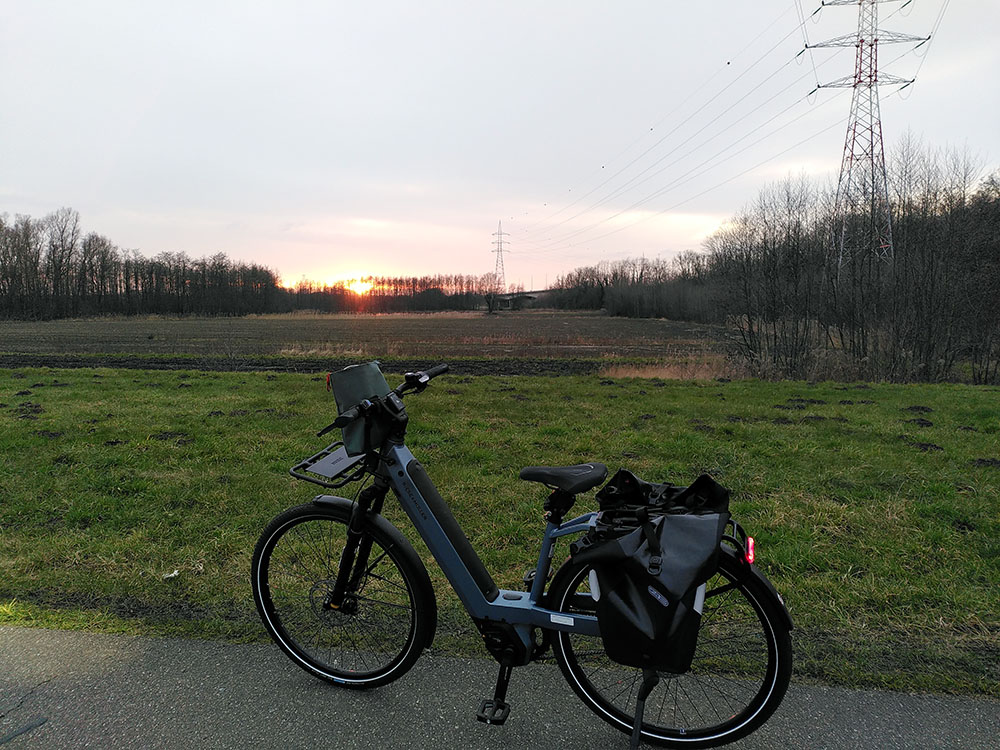
Riese-Müller Nevo4
Kiox300
cereal bars and water
Disclaimer: this is the route I ended up cycling, not the one I had planned. The route I had planned took me from Nijlen, Herenthout, Westerlo & Laakdal to Tessenderlo-Ham, so through the fields instead of next to the canal. This would have been a longer, but prettier trip. Please keep on reading to find out why things went wrong ;).
Part 1: Antwerp – Lier
Leaving at 8:30, planned trip: 135km
Lier is a charming little town, sprinkled with UNESCO-protected gems — basically, it’s like a real-life museum, but with coffee shops. If you’re thinking of visiting, just know: you’ll have to take a slight detour.
Getting there is a breeze: just hop onto the F11 bike highway and zoom straight to Lier. I usually cruise over from Antwerp on ECO mode — saving the planet and my legs. It’s basically like a car highway, but for people who actually enjoy life. You hop on, hop off, and pretend you’re a Tour de France contender. It usually takes me just under 45 minutes — fast enough to feel sporty, slow enough to still spot cows.
Navigation? Barely needed. Just glue yourself to the railroad tracks and trust the gods of blue road signs. The F11 is decked out with shiny blue markings and kilometer updates, just in case you’re wondering how much longer you have to pretend you’re not tired.
At some point during the ride, the classic Belgian weather happens: cold and water find their way to my toes. It’s too late for heroics — I just soldier on, soggy but undefeated.
working point
doublebagged feet isn’t a luxury
Final verdict: this part of the trip is quick and good. If I ever need to get to Lier for a touristy adventure or important business (like waffles), I know I can get there without even breaking a sweat — or only slightly damp socks.
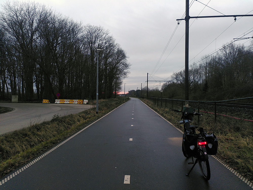
F11 at 8:30am
Starting the journey
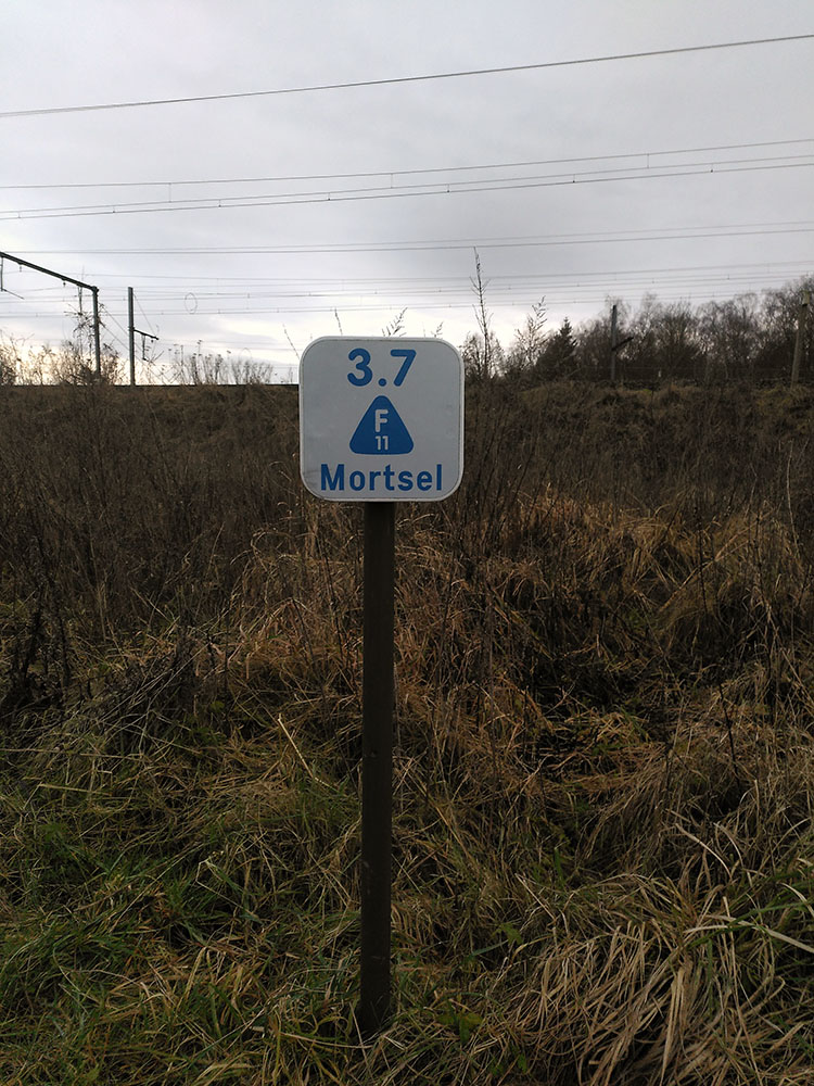
F11 roadsign
3.7 km untill Mortsel on the F11
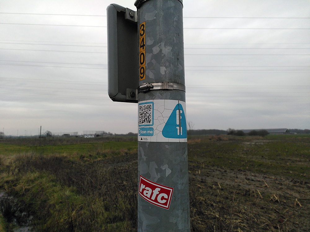
F11 roadsign
With a handy QR code in case you’re lost.
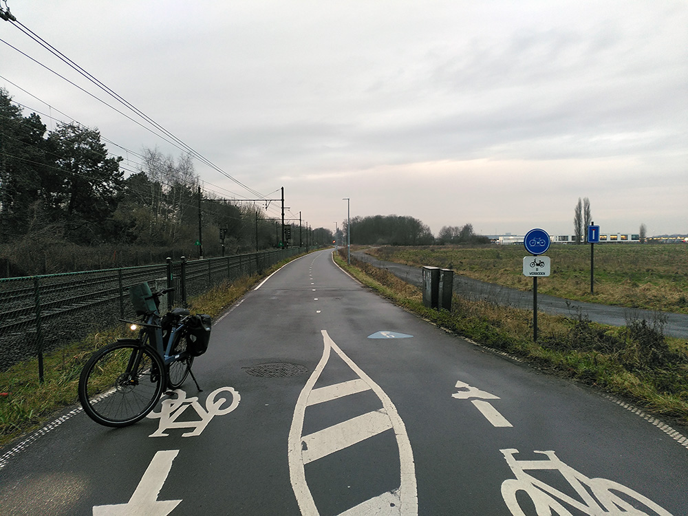
F11 variety of markers and signs
Blue marker on the road to mark the F11, and otherwise a variety of instructions on how to behave: the blue sign says this is bike only, the white one that no motorized vehicles are allowed and the white markings tell you to keep to your side of the road.
F11 roadsign combined with another one
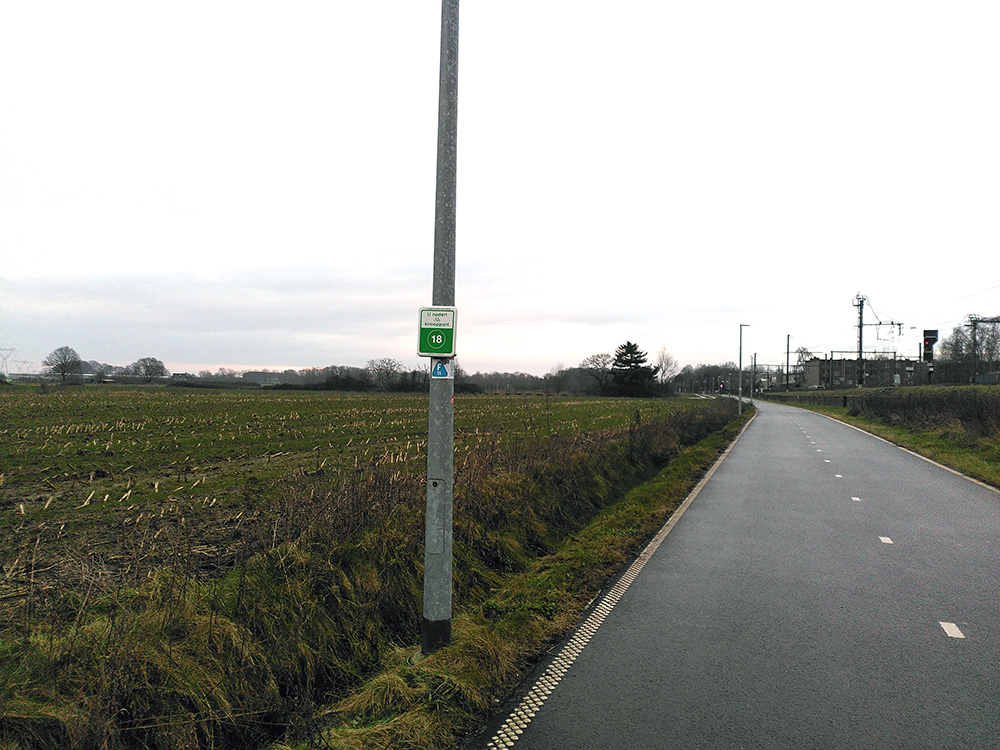
Typical Belgium – each governemental entity has their own marked bike paths. They intersect and are well marked.
F11 crossing
A typical bike crossing in Belgium. Our F11 sign is on the other side of the road, to the right.
Part 2: The Little Nete
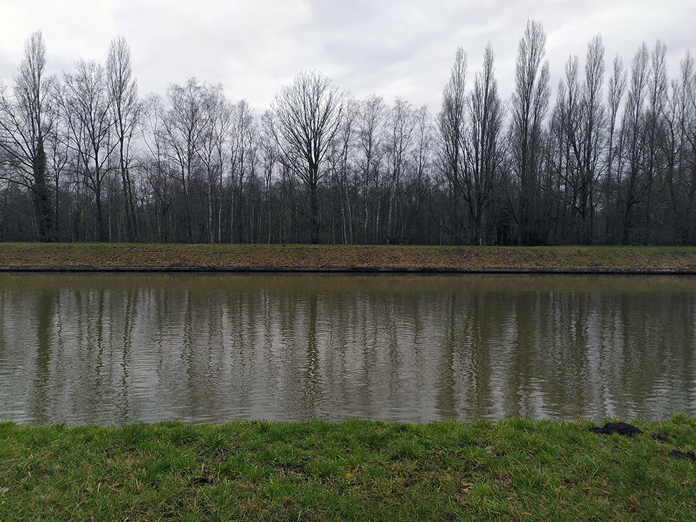
A piece of nature.
Leaving Lier behind, I jump onto the path that cozies up between the Nete Canal and the Little Nete river — it’s almost like riding through a postcard. Since today’s weather is serving major “damp and chilly” vibes, the place is practically deserted. Just me, a handful of brave cycling tourists, and a few kayaking groups who clearly lost a bet.
I can only imagine that when summer rolls around, this path turns into a buzzing highway of bikes, boats, and people pretending they’re in an outdoor adventure ad.
Extra: Flower and Fruits route
On the way I cross the Flower and Fruits route. It goes through a local nature reserve. Seems like a lovely route of about 40km to try out once.
I stick to the right bank of the Little Nete river — mostly to avoid getting completely confused between the twinning waterways. Bridges are few and far between, so luckily, the choice is pretty simple: just stalk the river.
I cruise along happily in ECO-mode, feeling smug, as the path winds itself snugly alongside the river. The further I pedal from Lier, the fewer non-locals I meet. Occasionally, I get a look that says, “You’re not from around here, are you?” — which, to be fair, I’m absolutely not.
The road starts showing its age: some cracks here, some bumps there. Nothing too dramatic — but the river, well, that’s another story. It’s sporting a suspicious light brown color. Mudslide? Industrial accident? Chocolate milk? Best not to dwell too long.
At one point where the Little Nete cozies up uncomfortably close to the Nete Canal, my navigation throws in the towel. It keeps screaming I’m “off-road” and tries to shove me onto a terrifying nearby car road, where vehicles blast past at 90 km/h. The so-called “bike path” — really just a 1.5-meter-wide suggestion in faded paint — looks like it was designed as a practical joke.
No thanks, Komoot. I stick with the river, trusting pure stubbornness, knowing that the river ends up at the Albert canal along which I’m meeting my friend for lunch. There’s a growing chance though I’ll have to skip the cozy countryside path I’d been looking forward to if the app doesn’t pull itself together.
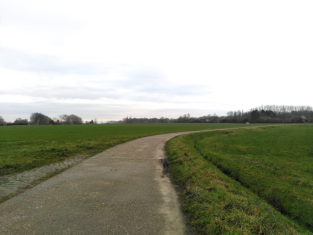
But honestly? No regrets. The riverside path is beautiful. For the first time on this trip, I genuinely feel out of the city. On one side: swamps, herons, lazy ducks — nature doing its thing. On the other: classic Flemish countryside scenes, like a postcard from 1950.
Tourists? None in sight. Lycra-clad racing cyclists? Nope, they’d probably get bounced into the river here. Hikers? Just a few locals ambling along with their dogs. In other words: absolutely perfect.
Flemish geometry
I took a wrong turn leaving Lier, but nevermind – I like this view.
Leaving Lier towards the Nete
Nature is coming closer.
Bridge over the Nete canal
Not the first nor the last bridge/river/road combo picture.
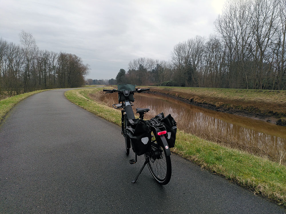
The Little Nete and the Nete Canal
This is some complicated navigation. I made the choice for the river here, ignoring the highway behind me.
Swirling along the Little Nete
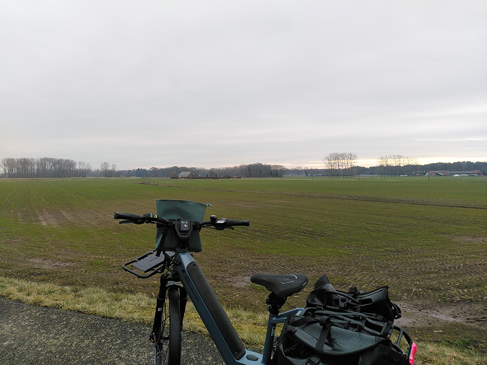
Flemish countryside
I love the geometry of the Flemish countryside
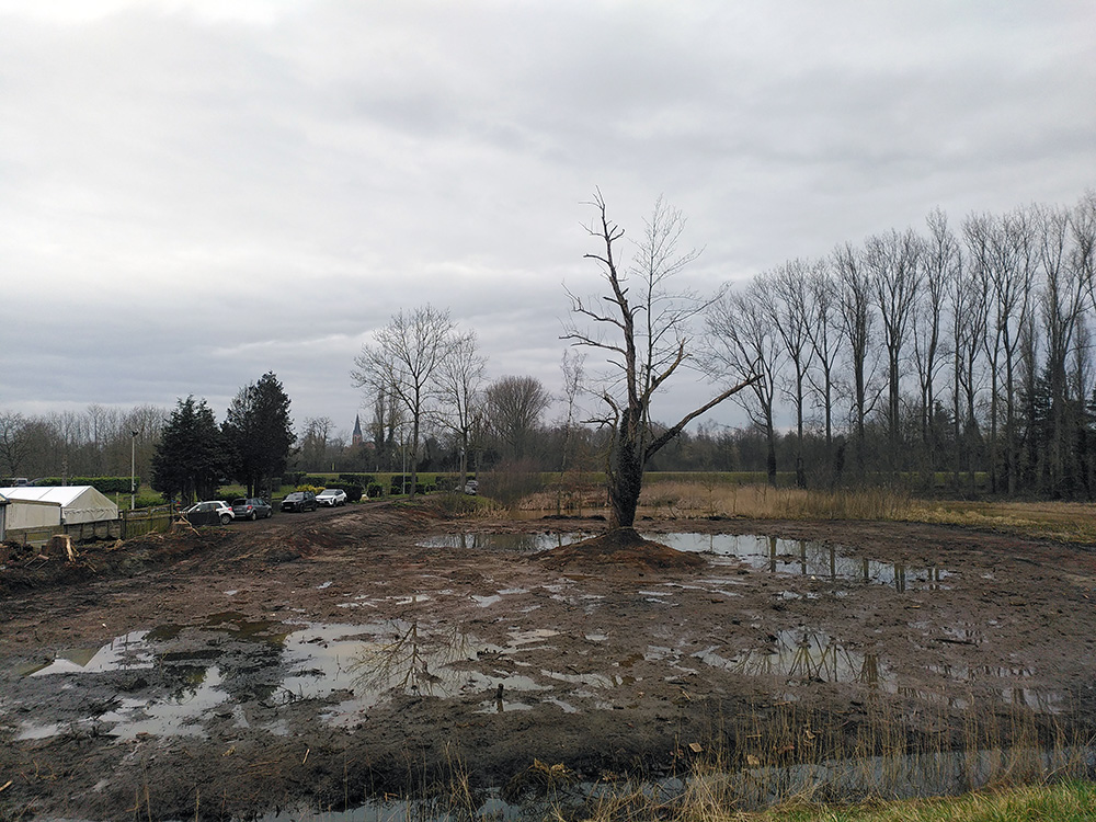
Spooky tree between the canal and the river.
I wonder what the history is behind this tree and the cars parked there, in the middle of nowhere.
The Nete canal
A mandatory picture for straight lines.
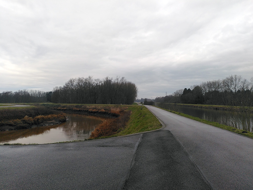
Decision time?
28km done at 10:05am
A crossroads. A bridge. The dull buzz of the highway which runs next to the Albert Canal mingles more and more with the chirping birds. Typical Belgian grey weather, that fine, misty “not-quite-rain”, hangs in the air. For the first time during this trip, my heroic resolve… cracks, a little.
Mental stability and discipline are real things, apparently.
This ride is over 100 kilometers long, and although I cycle every day for my commute, that’s just 20 minutes of easy pedaling — not several hours of pretending to be a pro cyclist. I’m not worried about my speed — consistently cruising at over 25 km/h — but I am worried about the growing number of scenic pauses and photo breaks I’ve taken. Totally worth it… until now.
The hard truth hits: I’m only 28 km into a 135 km day. I’ve been biking for 1h30 already, and I’m not even halfway to where I’m supposed to meet my friend. Having a mini existential crisis at this stage feels ridiculous, but hey — it’s happening.
working point
I can’t be out there without navigation
A small group of cyclists swoop past me as I sit brooding on a bench. They confidently head toward the countryside — the same stretch I’d originally planned to explore. Should I follow them?
(Confession: “Follow the other cyclists” is definitely part of my navigation strategy.)
I watch them glide away across the fields, knowing there are marked paths that could theoretically take me to Tessenderlo. But between the broken GPS and my lack of insider knowledge on these routes — most of which love taking scenic but highly inefficient detours — it feels like a bad gamble. It’s already 10:30, and I need to be in Tessenderlo by noon. Oh, and I still have 40 km to go.
A cereal bar, a quick rest, and some aggressive hydration bring my brain back online.
Decision made: safety over adventure. I’ll stick to the road I know, the one hugging the Albert Canal. Maybe next time, when I have more time (and maybe better weather), I’ll finally chase down those country roads.
For now, back on the bike.
Part 3: Canal – Tessenderlo
On the way to lunch
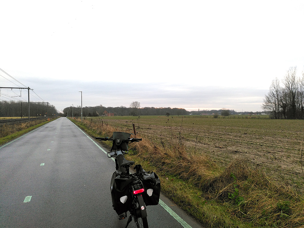
Without navigation, I’m flying half-blind, relying on my personal instincts and the simple but effective strategy of “follow the other cyclists — they seem to know what’s up.” My lunch meeting is on the left bank of the canal, so at least I have a vague mission: keep the water on the correct side and don’t end up in the river.
The Albert Canal looks like a cyclist’s dream: smooth bike roads on both banks, stretching out endlessly. Buuut there’s a catch — the infamous “harbor zones.” These little 30-meter patches are off-limits whenever companies are loading ships, and trust me: you do not want to mess around there. Discipline is key — no sneaky shortcuts through the gates, no pretending you’re invisible. Just smile, sigh, and obediently follow the marked detours, even if the place looks about as active as a Sunday afternoon nap.
I’ve biked this canal before. It’s a straight, soul-testing stretch, with a headwind with and zero shelter. It’s less “leisurely ride” and more “mental endurance exam.” I check my battery. 85%. I dream of a hot cup of coffee, sigh dramatically, and bump up my bike support from ECO to AUTO. I tell myself it’s strategic — not lazy — because I know I can charge up at my friend’s place later.
I push through the 35 km alongside the canal, dodging a healthy assortment of omleidingen (detours), thanks to enthusiastic amounts of industry and roadworks. Still, I manage it in about 1.5 hours — not bad for someone whose main strategy is “don’t think about how boring this stretch is.”
Since my fancy Kiox300 display (thanks for nothing) teamed up with Komoot to betray me, my navigation fallback plan is now the ancient and mighty Google Maps… and the age-old method of bridge counting. Three bridges to go. Two bridges. After the next bridge, turn left. I hope. Please, no more bridges.
And then, somewhere along the way — just when my brain is starting to melt from wind and caffeine withdrawal — the sun finally bursts through the clouds. A little victory moment.
Maybe this trip isn’t trying to kill me after all.
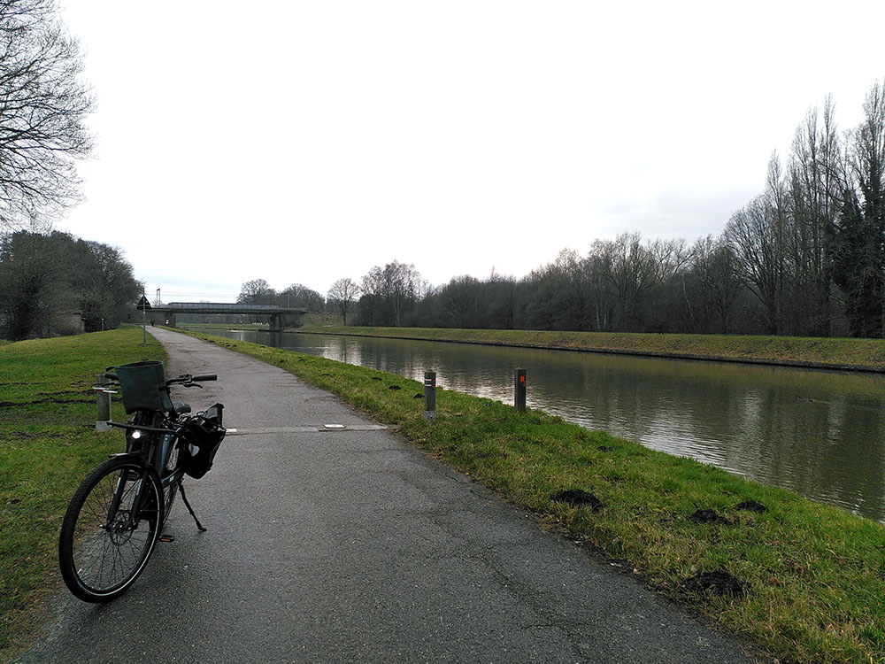
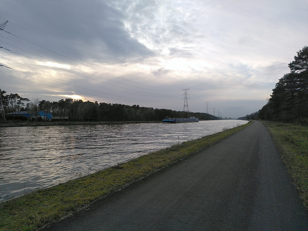
The Albert canal with industry
The bike path underneath is closed off because of harbor activity.
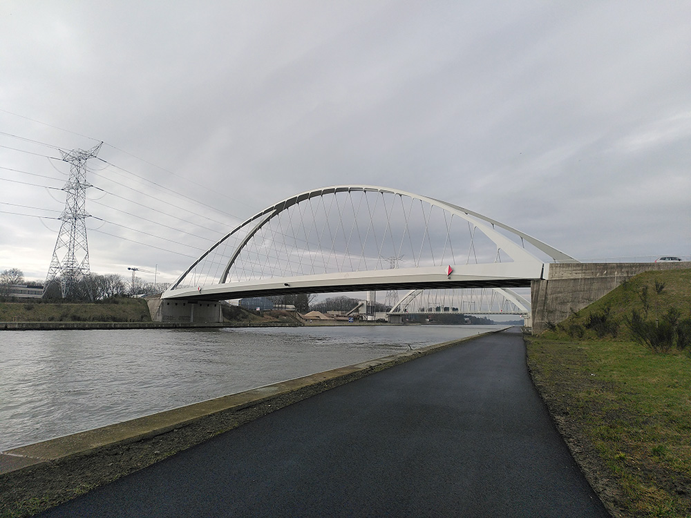
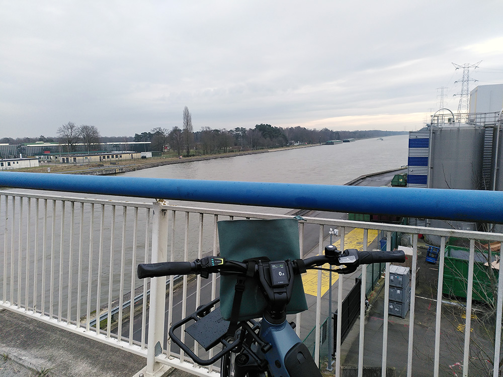
Bridge over Albert canal
There’s a lot of bridges.
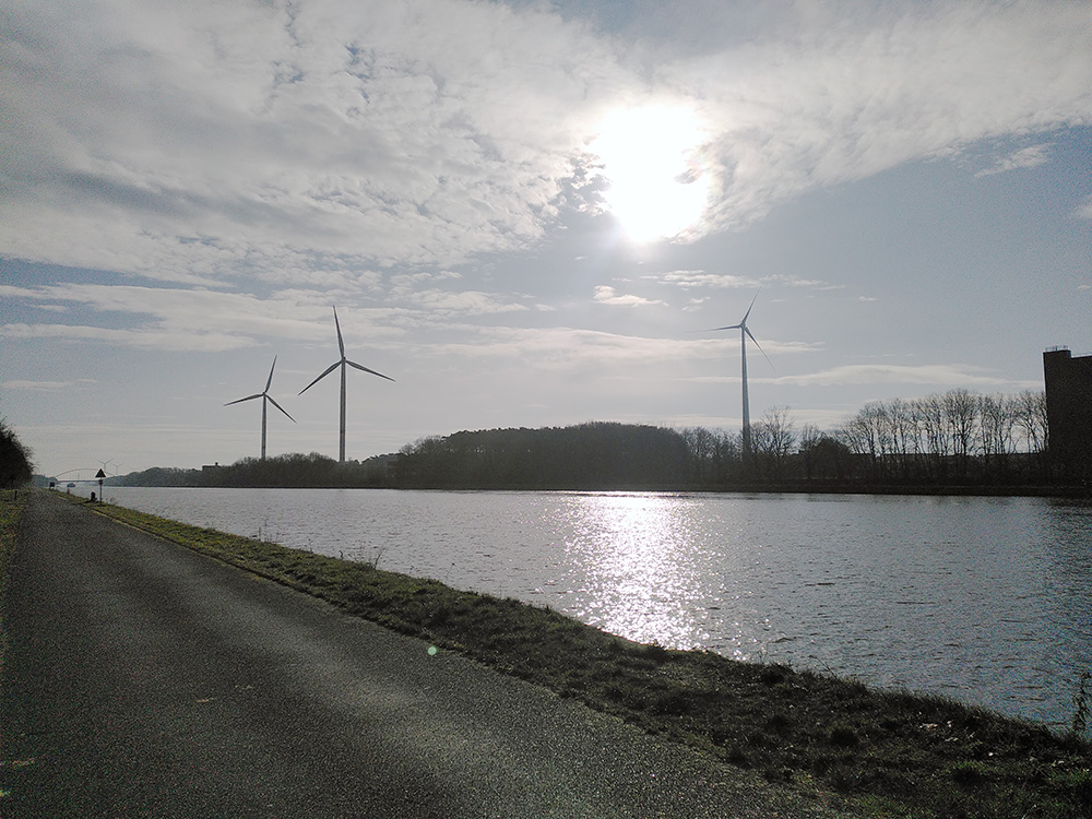
Windmills over the Albert Canal
Finally, some sun.
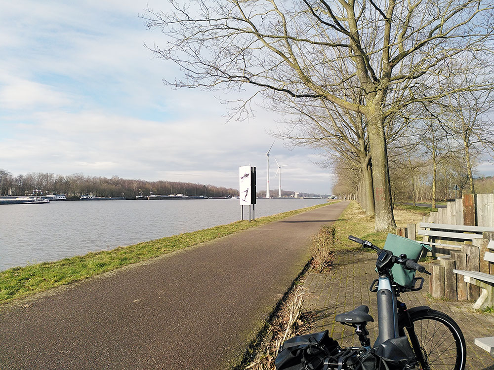
Break at the Albert Canal
Lunch & Status
69km done, 12:30
%
bike battery
I arrive and pop in my battery asap.
%
phone battery
My phone battery is good, and I still have a full powerbank. I won’t bother charging.
Energizers
Coffee x2, a sugary drink and great conversation.
lunch
I love pasta.
New target
Get home before dark.
Part 4: Canal – Wijnegem
60km to do, it’s 15:15
The first 45 minutes and 25 kilometers breeze by in ECO-mode — smooth, effortless, living the dream. And then… I start to get hungry. Properly hungry. Like staring wistfully at passing ducks and wondering if they’re edible hungry.
working point
eat way more than you think you should. seriously.
Three cereal bars, half a liter of water, and a 15-minute break later, I decide it’s time to level up: I switch the bike to AUTO-mode for the remaining 35 kilometers. From there, it’s a buttery-smooth ride toward Wijnegem. I roll in at exactly 17:50, feeling like a slightly less glamorous version of a Tour de France finisher.
mental note
finding a quiet spot is a challenge along the canal. plan ahead — or risk regrettable creativity.
Crossing the bridge into Wijnegem turns out to be its own mini-adventure. The main bridge? Closed forever to all non-cars. Awesome. Luckily, a wobbly but reassuringly well-lit replacement bridge saves the day. I bounce across it and follow the endless omleiding signs.
At this point, the trip feels pretty much over. It’s all familiar ground. All that’s left now is to get home quickly.
The Albert canal
I still have some distance to cross before reaching Wijnegem, but I think I can see the bridge in the distance.
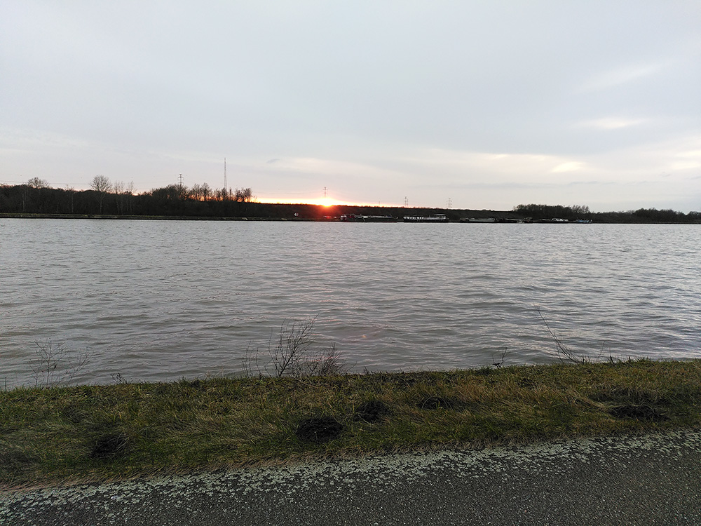
Sun setting over canal.
I should hurry if I want to be home before dark.
Sun setting over the fields
I wonder if I’ll make it.
Bridge in Wijnegem
In the distance the car bridge – on the right the bike bridge. No comment.
Part 5: Wijnegem – Rivierenhof
Home
If malls are your thing, Wijnegem Shopping Center is right there — perfect for grabbing some dinner and rewarding yourself with a well-deserved shopping spree. (Because nothing says “I conquered 100+ kilometers” like impulse-buying sneakers and eating a giant plate of fries.)
If you’re craving a more peaceful ending to the day, skip the shopping madness and cruise through Rivierenhof park instead. You can wrap things up with a final coffee at Bar Stark — a cozy, boho little spot that feels like a warm hug after a long ride.
Conclusion & Aftermath
Is the ebike the most time efficient method to go to Tessenderlo?
Cycling next to the canal, without the stops, would have taken me roughly 2,5 hours.
- By public transport, it would have taken me 2 hours to go there – time I would have to spend on a combination of bus, walking, waiting and train.
- By car it would have taken me about 45 minutes, not counting traffic jams and roadworks.
So for my personal situation, I’d say the ebike is the most time efficient. A car however, is still the fastest method.
Why chose an ebike over the car or public transport?
Why do you pick to be constraint to the roads of the large motorized vehicles? Spend the time between rivers and fields!
How physically demanding was this trip?
Not so very much.
When I came home I immediately took a hot shower which took care of the immediate muscle aches. The day after, I only had a slight muscle ache in my thighs and a sugar low. I would consider myself in good shape, but I’m not athletic and don’t practise heavy sports.
Does the type of ebike influence the journey?
I believe so.
The Riese-Müller is an overengineered German tank and you feel it as you’re driving it. It’s comfortable, picks up fast, it’s easy to manouvre and with a good battery, it lasts quite some time. I chose and equipped it specifically for longer rides.
Some time ago I did the same trip with a borrowed Norta ebike. It took more effort, I felt it in my body and was happy that at the time, I could do the trip in two days. Since it was borrowed, I never got specific equipment for it.
So if you like 100km+ bike rides or if the bike is your only method of transport, I’d advise to do the research, then talk to your bike salesperson to choose the right bike for you.
I don’t take battery into consideration here (maybe I should). That’s just a question of doing the math.