
154 km along cycle highway F4, F6, F30 and F39
Antwerp > Ghent > Bruges > Nieuwpoort

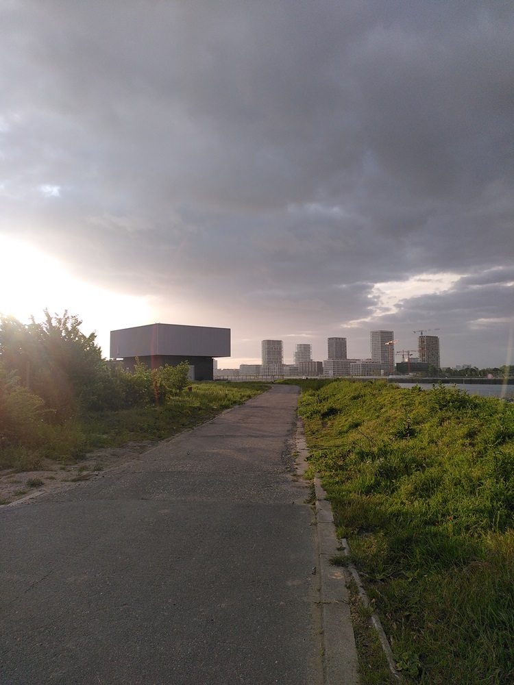
1/ Antwerp – Ghent
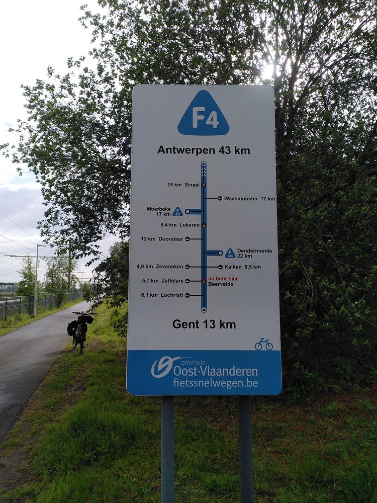
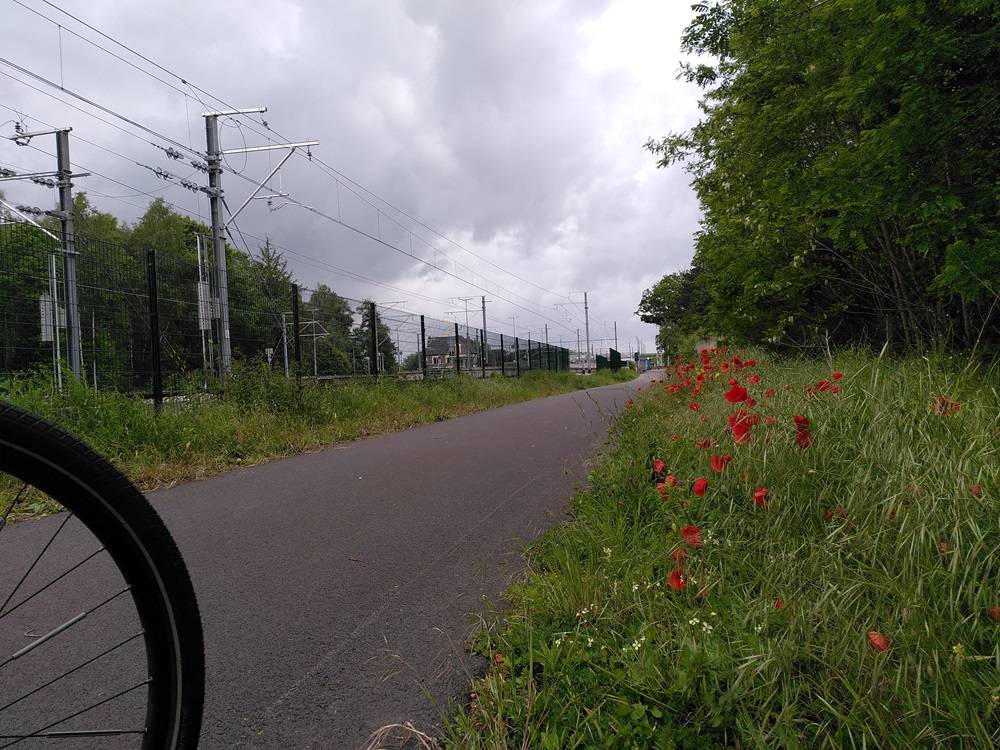
48km along the F4
We’ve done this before – the highway is good. I leave at 6:30 am, half an hour past my planned time, but it’s ok.
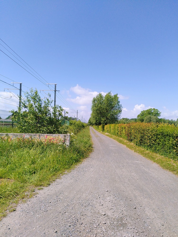
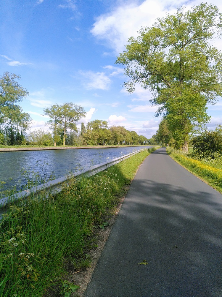
There’s not much else to say but to praise this lovely stretch of road. I always enjoy using it: the signage is clear, the road straight. You can ride almost without navigation. Since the last time I came this way, they have updated the missing signage in the cities. If you do get lost, just keep in mind that you have to stay as close as possible to the railway tracks, since the cycling route mostly follows old service roads.
I drive straight to Ghent with minimal breaks.
Lunchbreak
through Ghent to Drongen
In Ghent, navigation becomes hard – the many small streets and roadworks confuse Komoot. I switch to Google Maps and pass through the city, keeping my eyes open for a lunch spot, but it’s still early, just 10:30 am… and I can’t seem to find anything that’s open or suitable. I keep driving until Drongen, 60 km on the route and the final lunch option before starting on the road to Bruges.
On Google Maps, I find the Golflounge – it’s open, the food is straightforward, people are friendly, and it’s quiet. I eat well and treat myself to a mocktail and a cappuccino. I’ll come back here.
My battery is at 65%, which should be more than enough for the 40 km to Bruges… but I charge both the bike and the power bank as much as possible in the lounge anyway – it’s good to take advantage of a nice spot. I have no idea what’s available in Bruges.
I reached my first target well within my set time: I leave Drongen at 1 pm, with a 85% bike battery, a happy body, and 42 km to cycle until Bruges. My next break should be in or past Bruges.
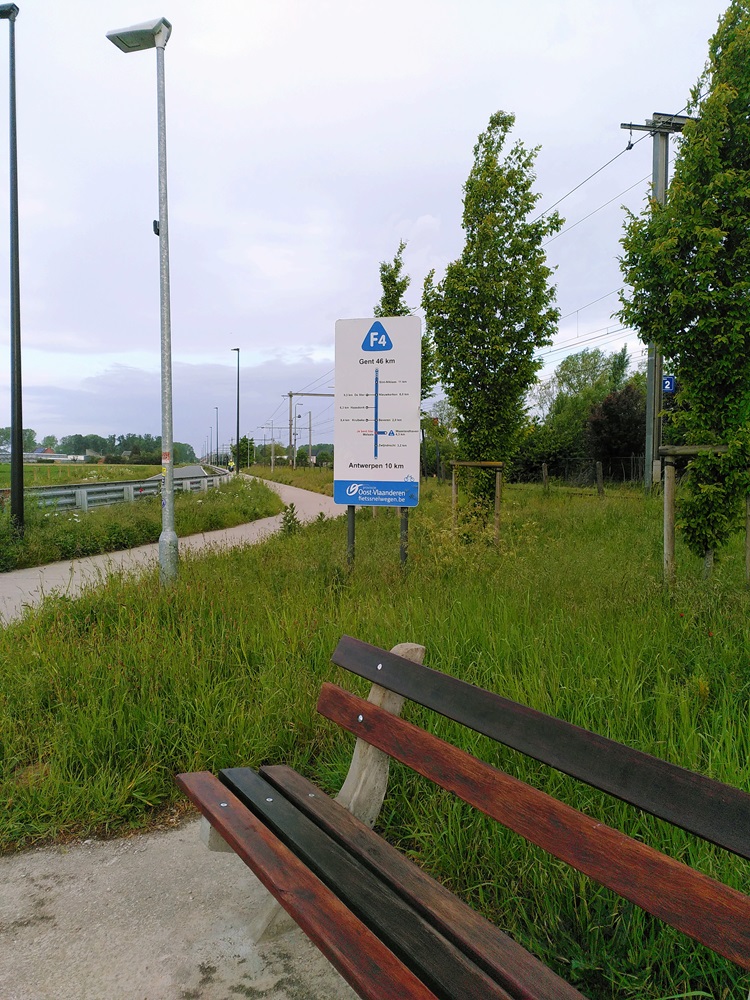
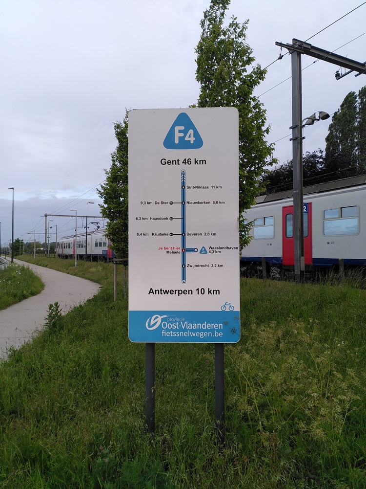
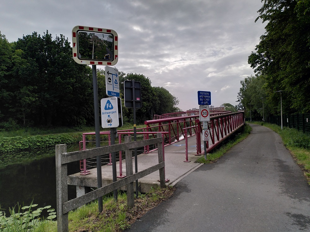
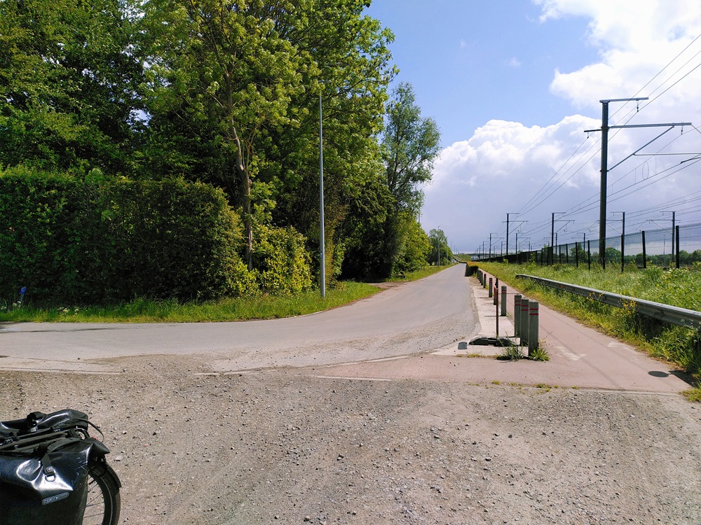
Cycling through Ghent, I didn’t find any type of F6 waypoint, but I know that’s not unusual in cities. Back on my regular route, though, there are no signs anymore either. I continue navigating by GPX only.
This doesn’t look promising at all.
2/ Onward to Bruges
42 km along the F6
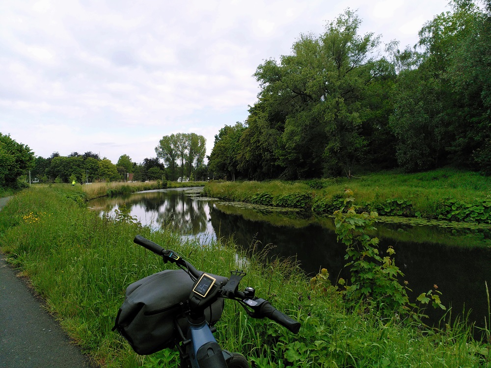
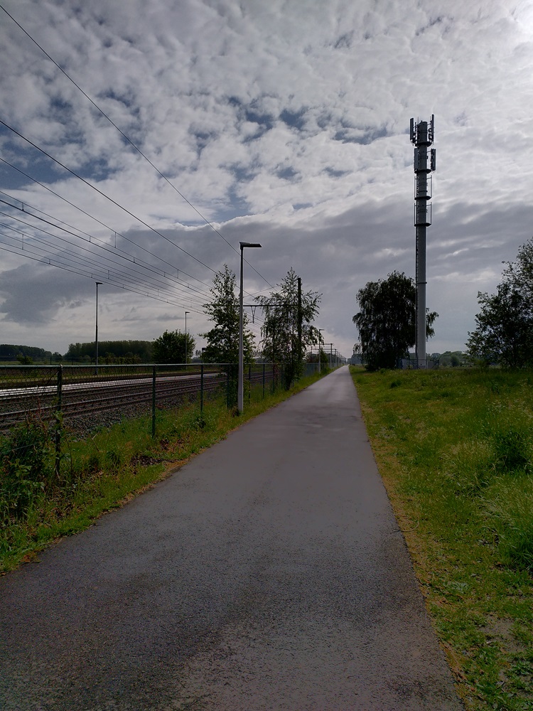
So the F6… so many mixed feelings… On the one hand, it’s beautiful. The first 20 km travel through the Flemish countryside. The roads aren’t always concrete, but not to dramatic extents. Unlike the F4 and some other cycling highways I’ve used, I seem to be the only one cycling between Ghent and Bruges. It’s quite idyllic.
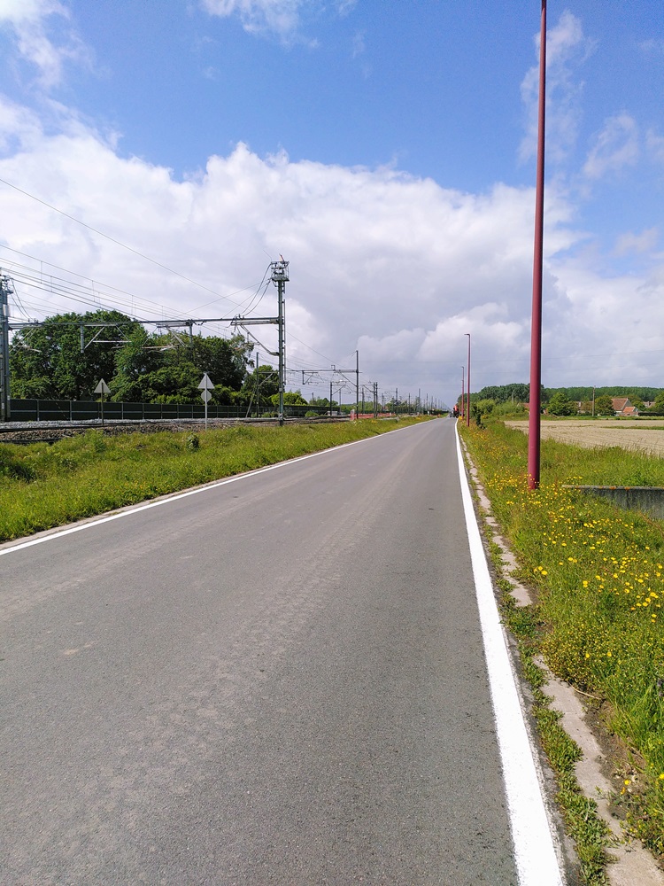
On the other hand, the road is completely unmarked! I get a little bit upset by this: all of the cycling highways in Belgium I have done so far are so well marked… the F4, which I had just left behind, is a beauty! What happened in the Belgian bureaucracy? Did they forget this road?
Is this an F-sign?! The color matches…
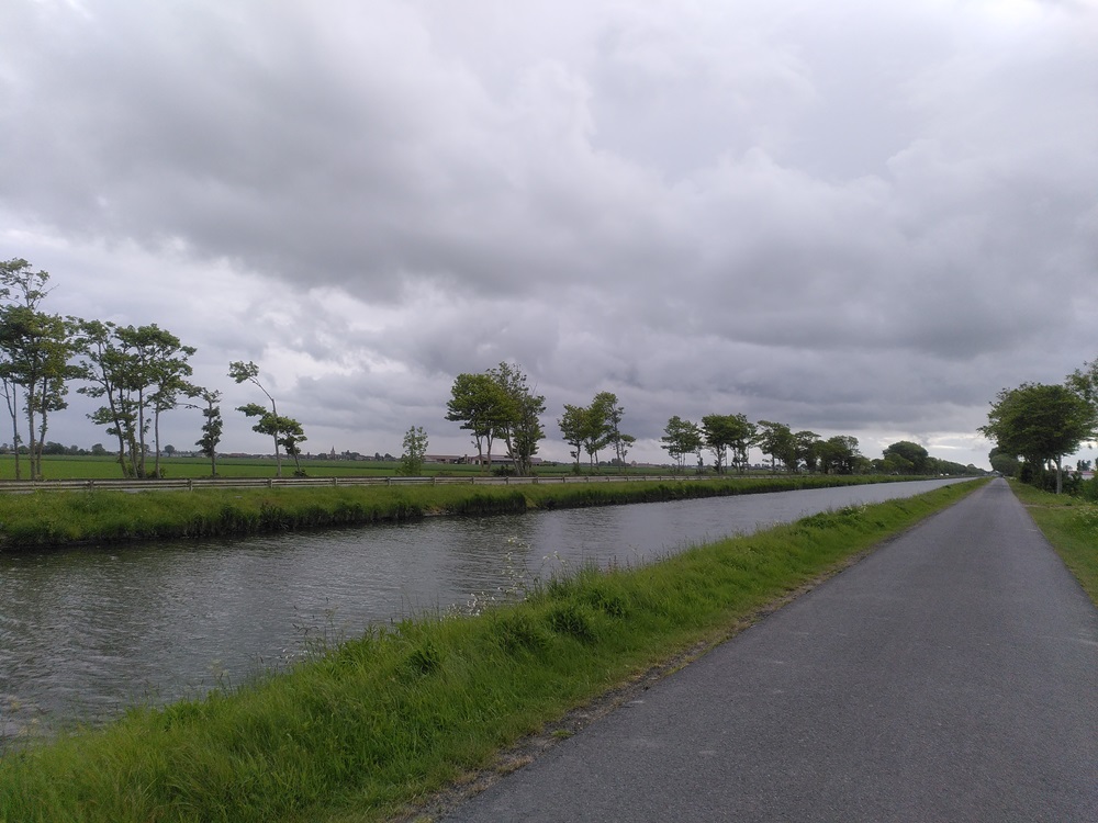
The moment I cross the provincial border in Beernem, from East Flanders into West Flanders, things change. The soft and quite nice drizzle that had accompanied me since Antwerp changes into solid rainfall.

The rain brings just the right amount of oxygen and energy – it doesn’t bother me at all to cycle through.

F6 signs, when crossing the border to West Flanders!
I’m so happy I could cry… why were there no signs on the F6 until the provincial border? Is it a work in progress? Do they loathe cyclists around here? Should I stop complaining and just be happy there are road signs on most parts of the route?
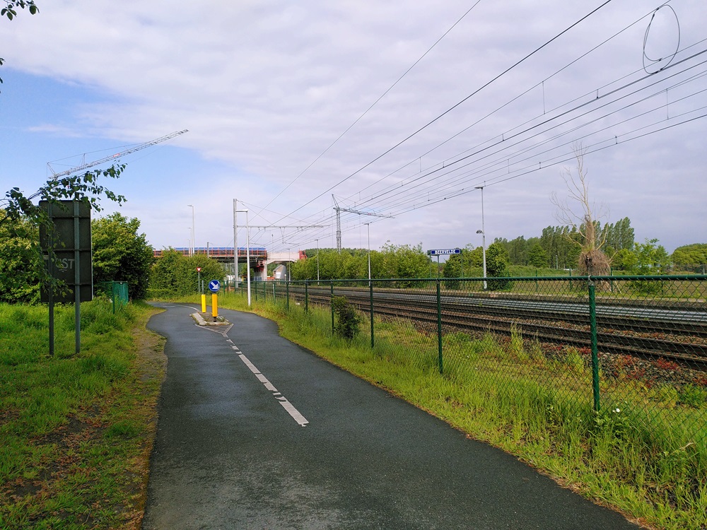
From here on, the landscape changes as well: the long drive along the canal has started, and this landscape and weather won’t change until the coast. Still, my focus is only on the next hurdle: reaching and then crossing Bruges.
Cycling in cities stresses me out.

A little on wearables.
I like loose clothing that works for several types of weather
Light regular sneakers. I bring both light and heavy hiking socks, so I can adapt to the weather.
Mittens with removable fingertips (here’s a great guide: Best Convertible Mittens, Flip Mitts, Glomitts of 2026). I often drive with my sleeves rolled up to my elbows and my mittens on.
A highly reflective, loose rain jacket that protects me from both wind and rain, and a fleece-zip sweater for warmth underneath.
Vaude hiking pants in parachute fabric, which protect me against the wind and dry quickly when it rains.
A breathable sports bra with a high level of support. I recently discovered Pure Lime, and love them.
A loose tank top. I like Urban Goddess as a brand because the fabric is thick, which gives me some warmth, but the fit of the model I buy is very breathable.
A buff to protect my ears and/or throat from the wind.
The right choice for a wearable makes for such a more enjoyable trip…
3/ Crossing Bruges
Connecting to the F30
My anxiety about navigating a medieval, complicated city like Bruges turned out to be unnecessary: my route was well planned. It took me along the city borders and almost always followed canal and river routes.
Bruges is very pretty. If you have the time, it’s a must-visit, but you need to plan well: it’s very touristy. Check out the city’s website. and book your stay well in advance.
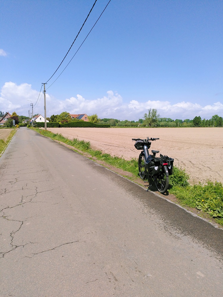
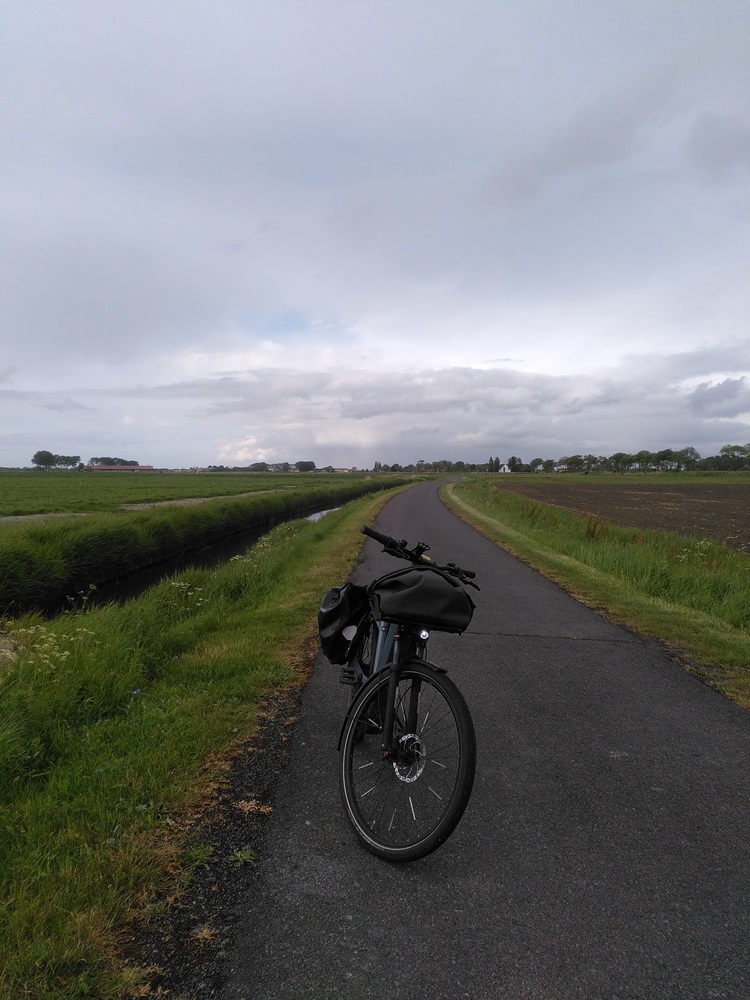
I have no issue connecting up with the, again unmarked, F30 that connects Bruges to the coastal city of Ostend. We’ll continue along the canal for a good 15 km before turning towards Nieuwpoort and the F39.
Lunch - postponed
I had expected to find a good lunch spot at 2 pm in a tourist city like Bruges… but unfortunately, nothing on my route on the outskirts of the city popped up. The one time I deviated, I ended up at a private yacht club!
My battery is at 55%. As expected, the closer to the coast, the more battery I’d need to fight the wind. This won’t be enough for the rest of the road – 40 km against the wind.
Find a lunch spot and next time, plan lunch and charging breaks in greater detail!
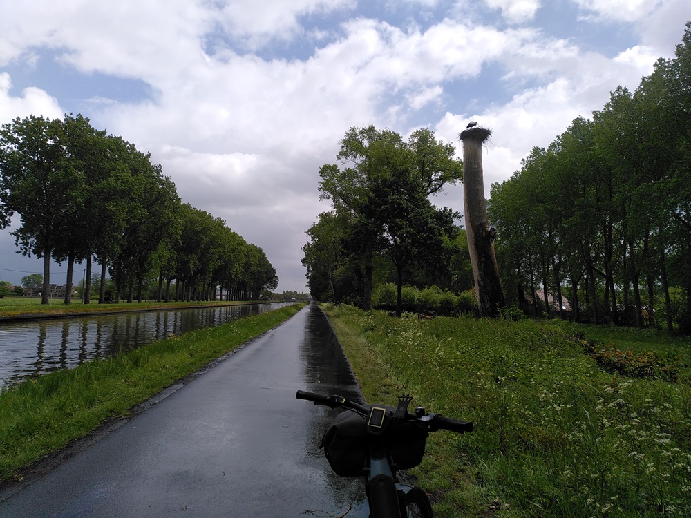
4/ More canal
Along the F30
I follow the F30 for 15 km. It runs along the canal. It drizzles a bit. There are no spots for breaks. It’s pretty, but on a hungry stomach, worrying about my battery takes over my mind.
Finally, I find a local garage bar near a horse riding school. It’s very local: I don’t understand a word of their dialect, but the cappuccino is excellent, and they let me charge the bike.
I eat my final hard-boiled egg for some extra protein.
When I reach the crossing with the F39, my friend in Nieuwpoort calls me. It’s 4:30 pm. I have 25 km to go. I tell him I’ll be there in an hour.
5/ And even more canal…
Along the F39
The F39 becomes a true test of mind and body.
I had given myself an hour to cross 25 km on a low battery against the wind. The landscape is desolate. The F39 is equally unmarked as the F30, but by now I’m used to it.
As a cherry on the cake, the final 2 km of the F39 is a dirt road covered in grass… I continue… I’m almost there.
I arrive at 6 pm, take a hot shower, and charge my battery. It’s at 12%. My friends prepare a delicious meal… there’s no better way to end a day like this than around the table with good company, food, and drinks. <3
Conclusion
So all went well. I enjoyed myself, and I don’t have muscle pain. In a couple of days, I’ll cycle back by a different route.
I added my other reviews in the same region here, so you can check out parts of the road and the process.
I’ll write up a longer post outlining some conclusions about this route once the reviews are up.

Planning: Antwerp – Coast
140km / F4 – F6 – F30 – F39
F4: Antwerp – Gent
150km / Antwerp – Gent – back over the Scheldt river